The best walks for enjoying the autumn colours in Haut-Giffre
From the banks of the Giffre to the forests surrounding the villages, autumn transforms the walks of Haut-Giffre. This selection focuses on low- and mid-altitude routes that are easier to enjoy as the days grow shorter. It combines scenery, heritage and accessible walks from Châtillon-sur-Cluses to Sixt-Fer-à-Cheval.
The times, distances and elevation gains below come from the route information sheets. Actual conditions can change with rain, fallen leaves or the first snow. Always check the latest information before setting off.
Chemin des Guers | Grands Bois | Lac Bleu | Art & Nature | Verchaix | Gorges des Tines | Weather | Photos | Good habits | FAQ
Chemin des Guers in Châtillon-sur-Cluses
This route links the upper part of Châtillon-sur-Cluses with La Rivière-Enverse. It offers a gentle introduction to the valley, with views across the surrounding mountains and a route that remains accessible thanks to its modest duration and elevation gain.
- Approximate duration 1 hour 15 minutes
- Positive elevation gain 104 metres
- Surface earth and gravel
- All-terrain pushchair listed as suitable
- Dogs allowed
Full route details Chemin des Guers
The Grands Bois circuit in La Rivière-Enverse
Starting from the village centre, the route climbs towards the hamlets and chapels of Nicodex and Cellières before returning along the banks of the Giffre. Woodland sections, views of Marcelly, Criou and Tuet, and the local heritage make this a particularly enjoyable autumn loop.
- Distance 5.4 kilometres
- Approximate duration 1 hour 40 minutes
- Positive elevation gain 130 metres
- Surface earth and stones
- Dogs allowed
Full route details Les Grands Bois
From Lac Bleu to the hamlets of Morillon
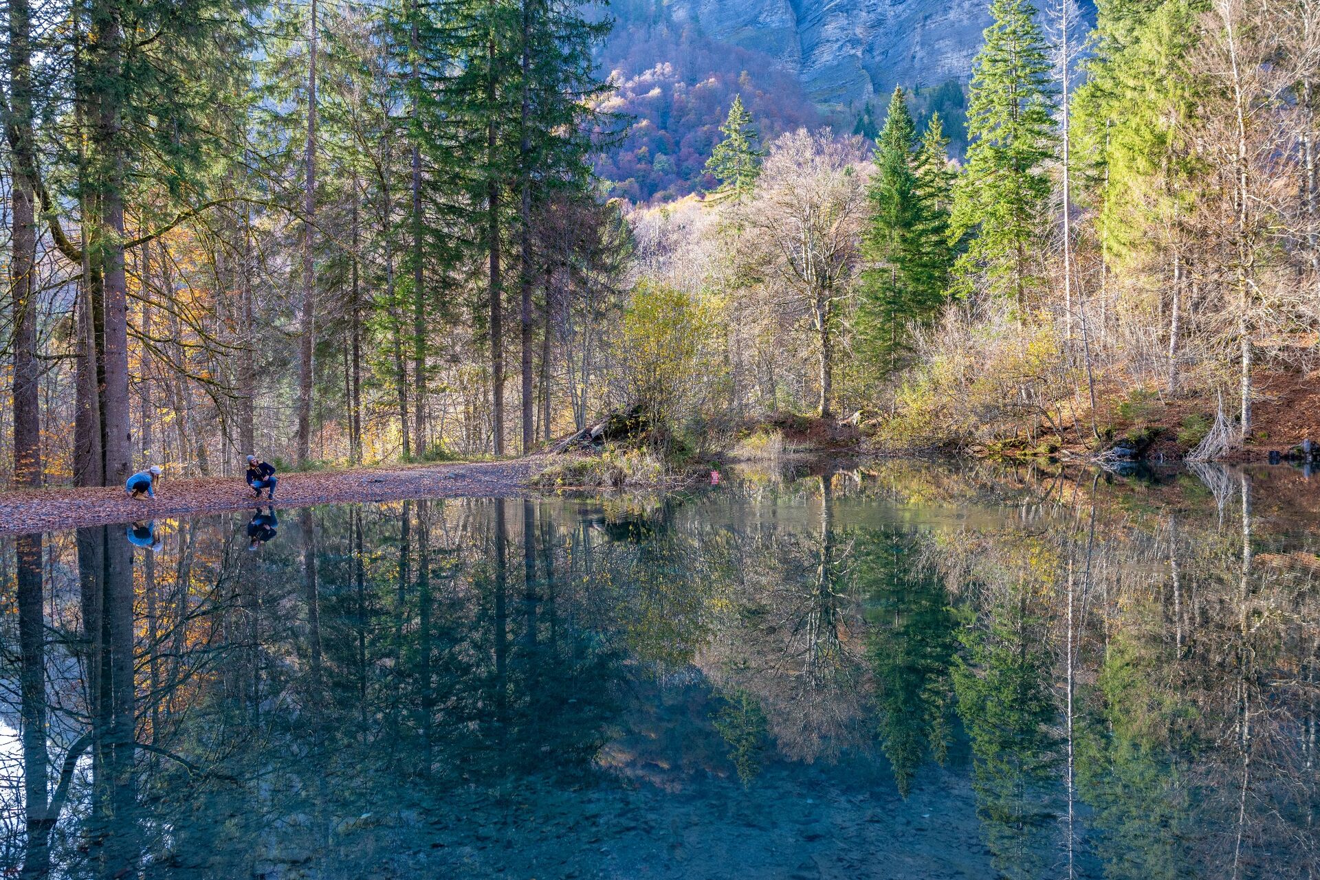
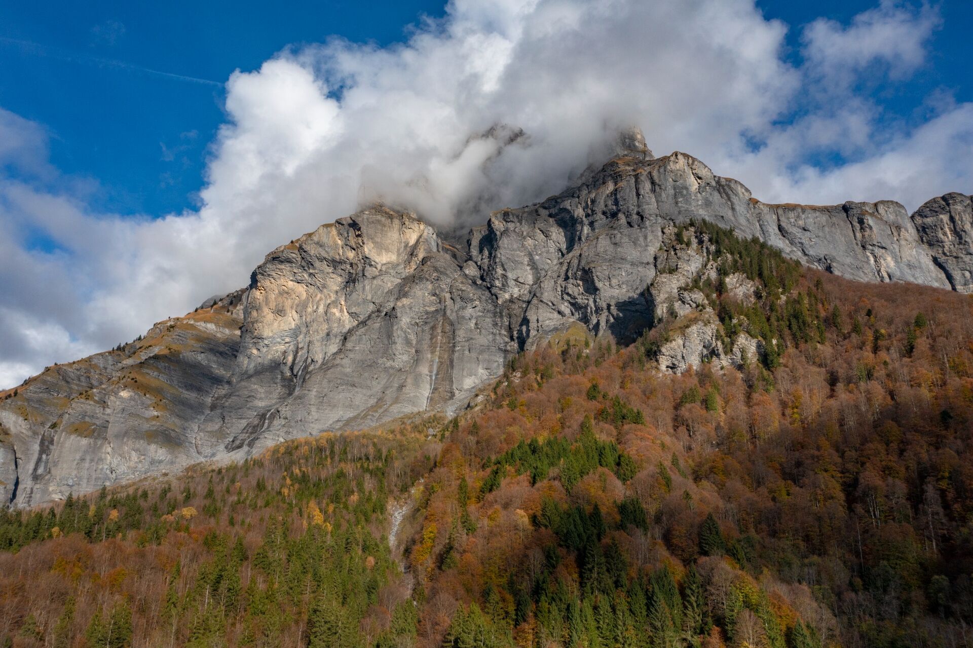
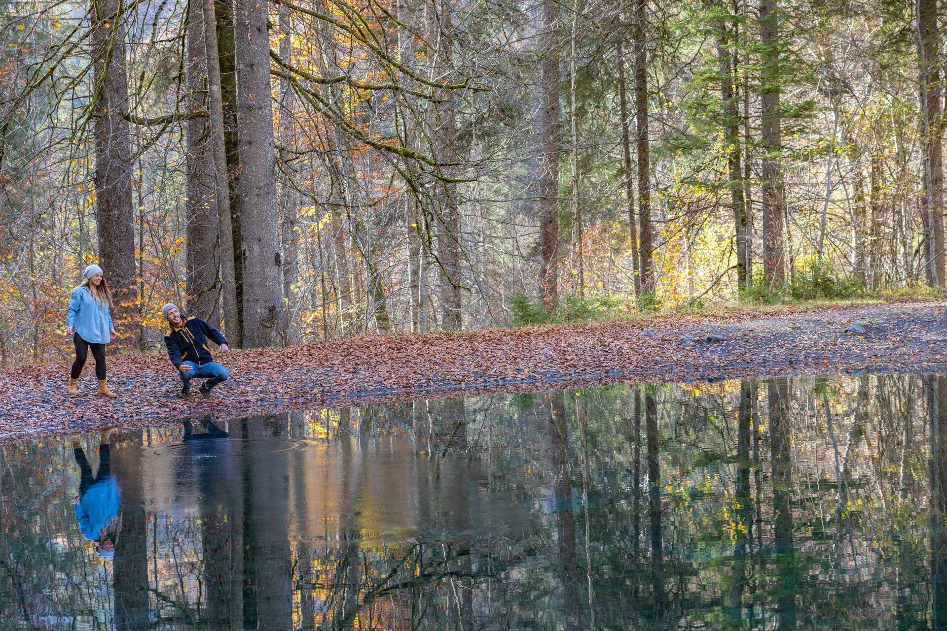
From Lac Bleu, this loop reaches Les Miaux, crosses woodland and continues to the Châtelard chapel. The route combines traditional houses, chapels and views of the Haut-Giffre peaks. Back in the village, you can extend the outing with a gentle stroll beside the lake.
- Distance 3.4 kilometres
- Positive elevation gain 119 metres
- Surface earth
- Pushchairs route listed as not suitable
Full route details Lac Bleu – Les Miaux – Le Châtelard
The Art and Nature Trail along the Giffre
Starting from Morillon, the route follows the Giffre towards La Rivière-Enverse and Taninges. Artworks installed along the way provide a thread for the walk. The valley floor, riverbanks and colourful trees make this an easy outing to enjoy as a family.
- Distance 7 kilometres
- Approximate duration 1 hour 30 minutes
- Maximum altitude 630 metres
- Surface earth and gravel
- All-terrain pushchair listed as suitable
- Dogs allowed
Full route details Art and Nature Trail
The Verchaix interpretation trail
Fifteen panels introduce the valley’s flora, fauna, architecture and heritage. The trail passes through a beech wood, which is particularly photogenic in autumn, and reaches two viewpoints with information about the surrounding landscape. It is an easy way to combine autumn colours with discovering the village.
- Positive elevation gain 95 metres
- Route fifteen themed information panels
- Opening listed as all year round, subject to conditions
Full route details Verchaix interpretation trail
The Gorges des Tines in Sixt-Fer-à-Cheval
The old gorges have a more enclosed, rocky atmosphere. The loop crosses a footbridge and includes metal ladders. It is suitable for families who are used to walking, but extra care is needed when the ground is wet. In rainy weather, the ladders can become very slippery.
- Distance 2 kilometres
- Approximate duration 1 hour
- Positive elevation gain 180 metres
- Minimum age shown 5 years
- Dogs on a lead and must be carried on the ladder sections
- Access subject to favourable weather conditions
Full route details Gorges des Tines
Choosing your walk according to the weather
After wet weather, favour wide, gently sloping routes. Avoid gorges, equipped sections and paths covered in leaves if conditions make progress uncertain. After a cold night, ice can remain in shaded areas. If the first snow has arrived, stay on the valley floor and ask the Tourist Office for advice.
How to get the best autumn photos
- Choose the morning or late afternoon for softer light
- Make the most of overcast skies to photograph colour without harsh shadows
- Stand near calm water to capture reflections
- Stay on the paths and do not enter private property
- Protect your phone or camera from damp conditions
Good habits for autumn walks
- Set off early enough and check when it gets dark
- Download the route or map before leaving
- Wear footwear suitable for wet ground
- Follow any instructions relating to hunting or forestry work
- Keep your dog on a lead and check the rules for the area
- Turn back if the weather or ground conditions deteriorate
Frequently asked questions about autumn walks
When can you see the best autumn colours?
The timing varies every year. The colours generally appear between late September and late October, with differences according to altitude and exposure.
Which walk is best with young children?
Chemin des Guers, the Art and Nature Trail and routes close to the villages are among the easiest options in this selection. Check the full route information and adapt the distance to the children’s age and ability.
Can you walk after rain?
Yes, on a suitable route, but leaves, roots, stones and metal equipment can be slippery. Avoid technical sections if necessary.
Back to the guide What to do in Haut-Giffre in autumn?
Read more
Read more
Read more
Read more