1
This beautiful itinerary allows you to explore the hamlets of Morillon via discreet paths, meeting its inhabitants, its history and its traditional architecture.
Excellent views from the pretty "Châtelard" chapel.
Comforts
Languages spoken
- French
Accessibility
- Accessible for self-propelled wheelchairs
Itinerary
- Distance: 3.4 km
- Type of land: Ground, Not suitable for strollers
- Elevation: 119 m
- Vertical drop: 119 m
- Positive elevation: 119 m
Prices
Free of charge.
Opening
All year round daily.
Multimedia
This service provider also proposes

Complementary services
Guidebook with maps/step-by-step
Starting from Morillon's Lac Bleu, the path turns away from the lake, crosses the road and follows the dykes of the Giffre to reach the torrent and the departmental road, which you cross to reach the hamlet of "Vers le pont".
A path takes you to "Les Miaux", where you can see some beautifully restored chalets and a chapel dating back to 1529, then to "Les Rasse" and "Le Chozal - Raymond".
On a wide forest track, cross the "La Biolle" bridge to reach the Morillon 1100-Les Esserts road.
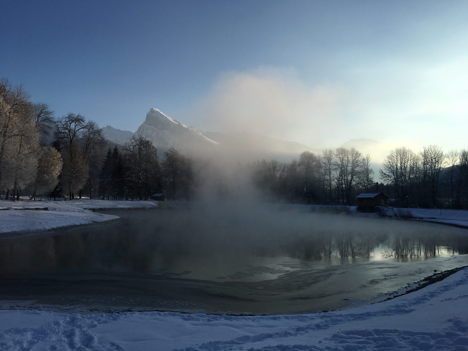
After skirting this for a few hundred metres, a path leads you to the "Châtelard" chapel, built in 1750, from where you can enjoy a splendid panorama of the Haut-Giffre peaks, then down to the Morillon church.
Via the "chemin du curé" (priest's path), the descent continues past residential buildings to reach the wide plain at the bottom of the valley, skirting a fine alignment of standing stones (in Sixt marble, designed by Michel Ducastel) to reach Lac Bleu.