1
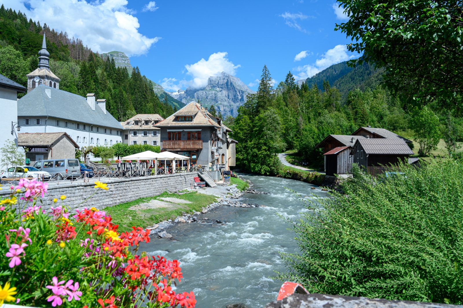
A course that takes you along the water's edge, between the Giffre and the Giffre des Fonts.
Comforts
Services
- Restaurant
Furniture
- Parking nearby
Itinerary
- Distance: 13.8 km
- Type of land: Stone, Ground
- Maximum altitude: 915 m
- Elevation: 265 m
- Vertical drop: 265 m
- Positive elevation: 265 m
Prices
Free of charge.
Multimedia
This service provider also proposes

Verchaix
Parcours VTTAE – Gorges des Tines
Sixt-Fer-à-Cheval
Parcours VTTAE – Le Grand Bois
Morillon
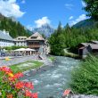
Parcours VTTAE – Les deux Giffre
Sixt-Fer-à-Cheval

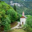
Parcours VTTAE – La chapelle Saint...
Châtillon-sur-Cluses
Complementary services
Guidebook with maps/step-by-step