1
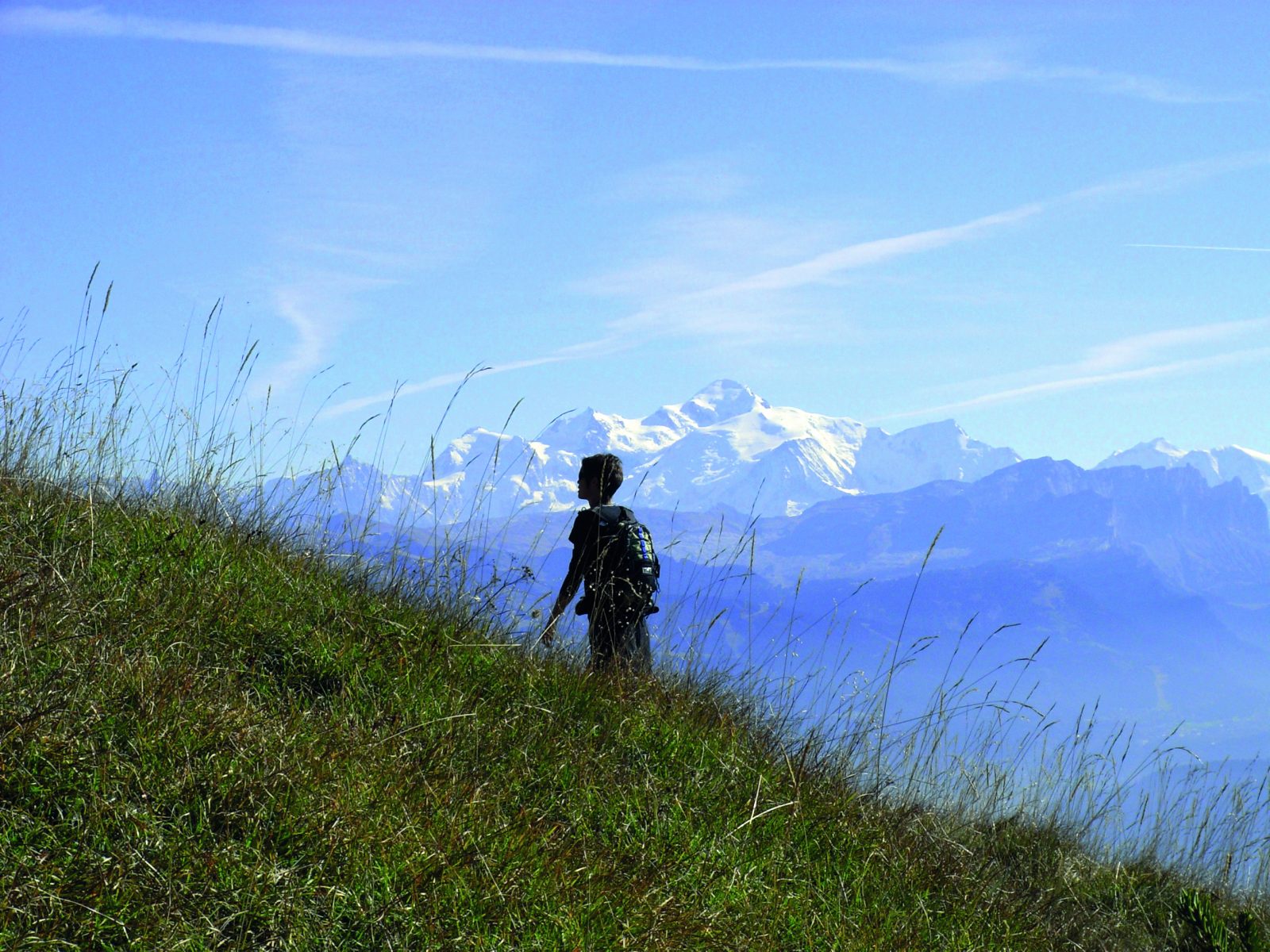
A mid-mountain trail, part of which runs along ridges, offering remarkable views of Lake Roy, the alpine pastures, the Mont Blanc massif, and the peaks of the Chablais.
Choose gear that's appropriate for your skill level and the weather. Stay on the marked trails.
Comforts
Services
- Pets welcome
Furniture
- Public WC
- Car park
Itinerary
- Distance: 8.5 km
- Duration: 4h00
- Type of land: Stone, Ground, Not suitable for strollers
- Delicate passages: Overpasses.
- Maximum altitude: 1989 m
- Elevation: 610 m
- Vertical drop: 610 m
- Positive elevation: 610 m
Services provided
Visits
- Group visit duration: 240 min
Prices
Free access.
Opening
From 15/05 to 15/11 daily.
Subject to favorable snow and weather conditions.
Subject to favorable weather
This service provider also proposes
Taninges
Complementary services
Guidebook with maps/step-by-step
About 100 m from the parking lot, follow the signs for Lac de Roy.
1/ Once there, go around the lake on the left toward the “Frêtes de Penaille.” The trail becomes more exposed and begins to follow the ridges toward the Pointe de la Couennasse.
2/ To reach the Pic du Marcelly, which rises to 1,999 m, you can avoid the Pas de l’Âne—which is equipped with a cable—by skirting the summit to the north. This route is not recommended for young children due to some very exposed sections between the Frêtes de Penaille and the Pic de Marcelly.
3/ The return trip goes through the Gron mountain pasture.