
1
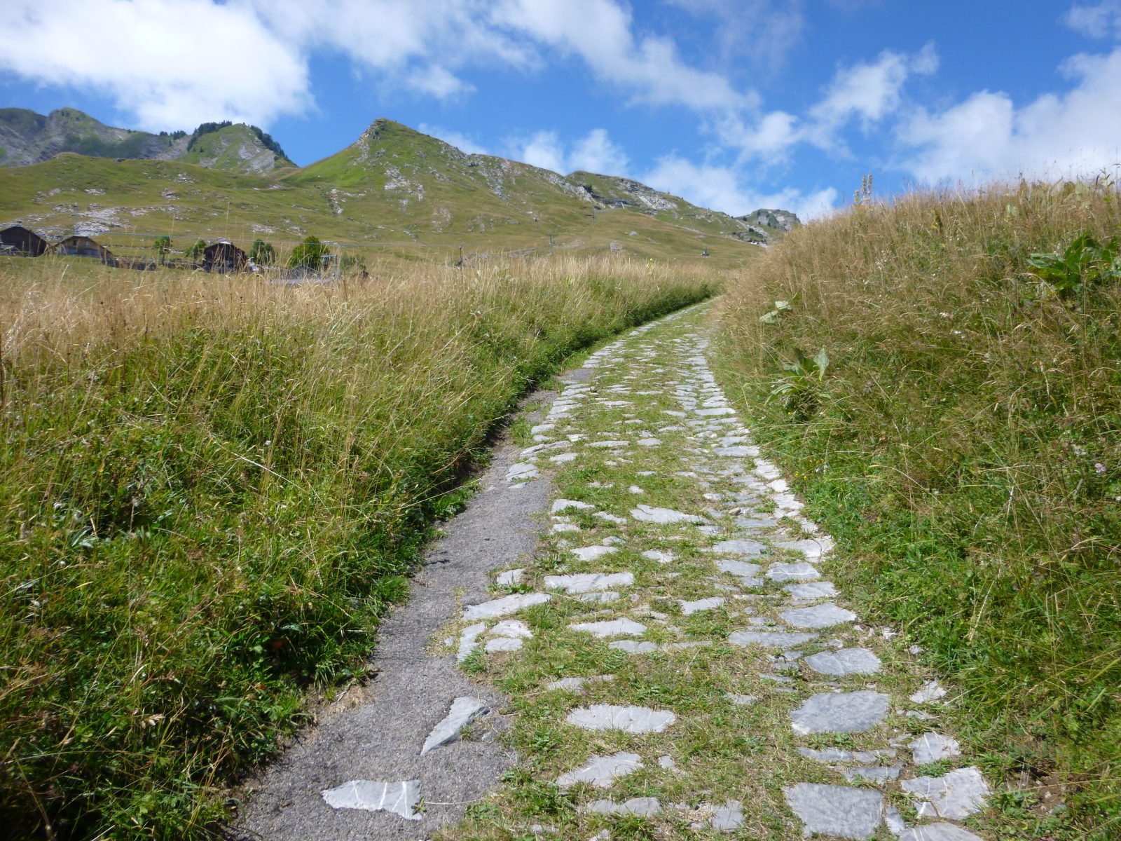
Following in the footsteps of the old alpine herders, this hike takes you from Taninges to the village of Praz de Lys. As you follow the cobblestone path dating back to the Middle Ages, discover the pastoral heritage of Haute-Savoie amid beautiful mountain scenery.
Choose gear that's appropriate for your skill level and the weather. Stay on the marked trails.
Comforts
Services
- Pets welcome
Furniture
- Public WC
- Car park
Itinerary
- Distance: 11 km
- Duration: 4h50
- Type of land: Stone, Ground, Hard coating (tar, cement, flooring)
- Markup: Departmental signage on a beige metal sign with green lettering.
- Maximum altitude: 1527 m
- Elevation: 900 m
- Vertical drop: 900 m
- Positive elevation: 900 m
Services provided
Visits
- Group visit duration: 290 min
Prices
Free access.
Opening
From 15/05 to 15/11 daily.
Check with the Tourist Office in advance to find out the current access conditions.
Subject to favorable snow and weather conditions.
Subject to favorable weather
Multimedia
This service provider also proposes

Complementary services
Guidebook with maps/step-by-step