Hike to Anterne Refuge and Lake

1

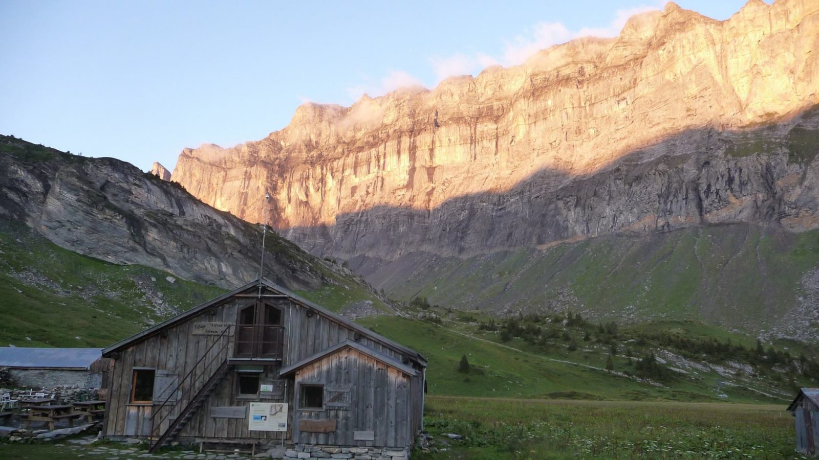
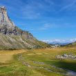
At the foot of the Fiz mountain range, discover a mountain pasture along the waterside. Around the Lake of Anterne, sheep and marmots enjoy their time in the pasture.

Age minimum : 8 ans

Itinerary

  • Duration: 6h00
  • Type of land: Stone, Ground, Grit, Not suitable for strollers
  • Maximum altitude: 2257 m
  • Elevation: 1080 m
  • Vertical drop: 1080 m
  • Positive elevation: 1080 m

Prices

Free of charge

This service provider also proposes
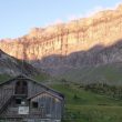
Complementary services

Guidebook with maps/step-by-step

The departure point is Lignon car park, above the Rouget waterfall (elevation 1,180 metres). You'll pass the very beautiful waterfalls of Sauffaz and Pleureuse, then continue left towards the Collet d'Anterne. The path takes you gently up to the Anterne refuge (1,810 metres). From the refuge, continue south. The path is quite steep to start with. It takes you to Anterne lake where you can admire the Fiz mountains. To return, take the path on your right as far as the "little pass" of Anterne, from where you'll enjoy a stunning view of the Cirque des Fonts. From the "little pass", the path down to the chalets of Les Fonts is fabulous. Then take the vehicle track for 2 km down to Salvagny. Leave the track, turning left onto a signposted path which leads to the Oua bridge, then the Fardelay chalets. Then take the path that cuts across the hairpin bends in the road to join the Rouget waterfalls. Path not practicable for pushchairs.