1
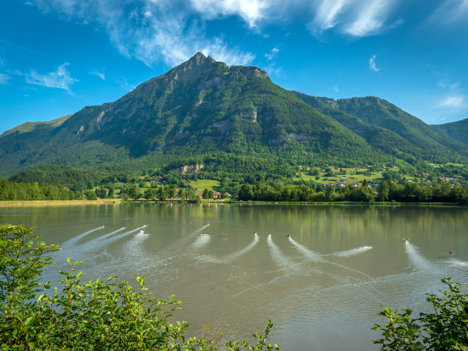
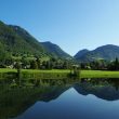
A nature and culture trail This easy trail is a great way to explore the shores of the Lac de Flérier, as well as the villages of Flérier and Taninges.
Adapt your equipment to your level and the weather. Stay on the marked trails.
Comforts
Services
- Pets welcome
Furniture
- Picnic area
- Car park
Itinerary
- Distance: 6.4 km
- Duration: 2h30
- Type of land: Stone, Ground, Hard coating (tar, cement, flooring), Suitable for city strollers
- Maximum altitude: 783 m
- Elevation: 180 m
- Vertical drop: 180 m
- Positive elevation: 180 m
Services provided
Visits
- Group visit duration: 150 min
Prices
Free access.
Opening
All year round.
Subject to favorable snow and weather conditions.
Subject to favorable weather
This service provider also proposes
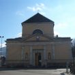
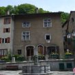
Taninges
Complementary services
Guidebook with maps/step-by-step